

District Profile
About District
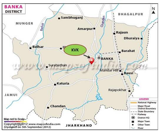
The District of Banka is situated at the far south – east of the State of Bihar. The eastern and the southern border of the district coincides with district Godda of the state – Jharkhand. In west and north east it is bounded by Jamui and Munger disrict respectively. The old district Bhagalpur is situated in the north side of Banka. The Geographical area of the district 1s 305621 hectare i.e. 3019.3465 Sq. Km. The district head quarter of Banka is situated in Banka Town. The district has been established on 21st February, 1991. Earlier it was a Sub-Division of district Bhagalpur.
The district consists 11 blocks and two municipalities Banka and Amarpur. Under every Block there are a number of panchayats. Block details are as follows :-
| S.N. | Block Name | Latitude in Degrees (North) | Longitude in Degrees (East) | Number of Panchayats |
|---|---|---|---|---|
| 1 | Amarpur | 25.033333333333335 | 86.900000000000 | 19 |
| 2 | Banka | 24.879722222222224 | 86.920000000000 | 16 |
| 3 | Barahat | 25.22229180000000 | 87.3582870000000 | 15 |
| 4 | Belhar | 25.916666666666668 | 86.600000000000 | 18 |
| 5 | Bounsi | 24.80206270000000 | 87.0236941000000 | 16 |
| 6 | Chandan | 24.633333333333333 | 86.66666666666667 | 17 |
| 7 | Dhoraiya | 24.88330000000000 | 86.9167000000000 | 20 |
| 8 | Fullidumer | 25.97688730000000 | 86.7603421000000 | 11 |
| 9 | Katoriya | 24.74753460000000 | 86.7183730000000 | 16 |
| 10 | Rajoun | 25.016666666666666 | 86.98333333333333 | 18 |
| 11 | Sambhuganj | 25.083333333333332 | 86.73333333333333 | 19 |
The recogniton of the district is Mandar Hill (Mandar Parvat) situated at Bounsi Block at about 18 Km from District Headquarter raising its head since the epic period. The glorious fair Bounsi Mela is held every year in the month of January at the foot hill of Mandar Hill. The fair starts from 14th January ( Makar Shankranti day) every year and continues for about a month. The Mandar Hill is related with the story of Skand Puran of epic period.
| 1 | Establishment (Portion of old Bhagalpur District) | Year 1991 |
|---|---|---|
| 2 | Geographical location Latitude Longitude |
24°30’N to 25°08’N 86°30’E to 87°12’E |
| 3 | Geographical Boundary North South East West |
Bhagalpur Deoghar (Jharkhad) Godda (Jharkhand) Munger |
| 4 | Total geographical area | 3,05,621(ha) |
| 5 | Soil type | Clay loam to sandy loam |
| 6 | Climate Average annual rainfall Temperature range |
1170 mm 15° to 45° C |
| 7 | Number of blocks/ Talukas | 11 |
| 8 | Number of villages (inhabited) | 1618 |
| 9 | Agro-climatic Region & Zone | III B-South Bihar Alluvial Plain |
| 10 | Population Male Female Total Population density/ Sq.km. Sex ratio |
1064307 965032 2029339 672/ Sq.km. 1000 : 908 |
| 11 | Land Utilization Geographical Area (Km.) Net Sown Area (in ha.) Forest (in ha.) Current Fallow Land (in ha.) Land not available for cultivation (in ha.) Cropping intensity |
305621 ha 1,52,371.91 ha 43,310 ha 3930.52 ha 41258 ha 112 % |
| 12 | Size of Holdings Less than 1 ha. Between 1 ha. and 2 ha Above 2 ha. Total |
No. : Percentage (%) 167570 : 81 18647 : 9 19517 : 10 205734 : 100 |
| 13 | Irrigation (in ha.) Net lrrigated Area By canals By Tube wells By other Sources |
115698 90062 23893 1743 |
| 14 | Agriculture support facilities Seed/ Fertiliser/ Pesticide depots Rural Markets / Mandis Rural Godowns |
1 1(Barahat) 50 Nos |
| 15 | Major Farming System | a) Rice - Wheat b) Rice - Linseed c) Rice – Gram / Lentil d) Rice – Maize e) Sugarcane – Ratooning of sugarcane f) Sugarcane + Bitter gourd /Cucumber g) Rice – Gram+ Rai h) Rice –Wheat+ Rai i) Rice –Rai –Moong j) Horsegram – k) Sorghum+Rice Bean l) Sweet Potato m) Tomato / Pea n) Brinjal- Spinach o) Cauliflower p) Spongegourd – Potato- Moong |